


Follow Along With a Local Perspective
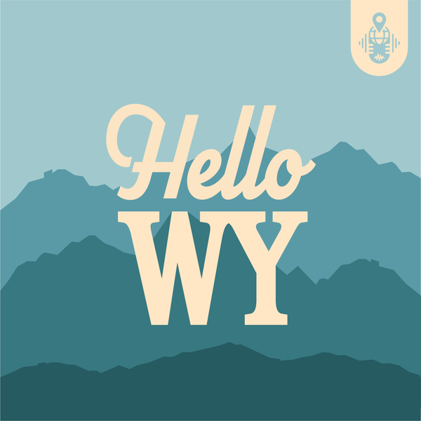
Hello Wyoming — the podcast that takes you on the open road across the Cowboy State. Pack up the car and set off on a trip to discover the story of Wyoming. You might even be lucky enough to learn some of the state’s best-kept secrets, hidden gems and local favorite attractions when you come along for the ride.
Listen & Subscribe on Your Favorite Platform.
![]()
![]()
![]()
![]()